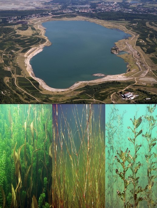
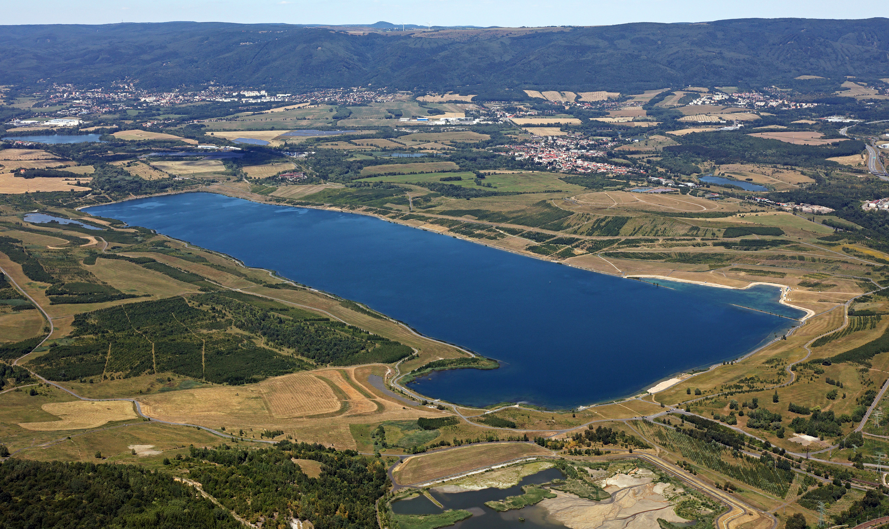
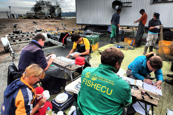
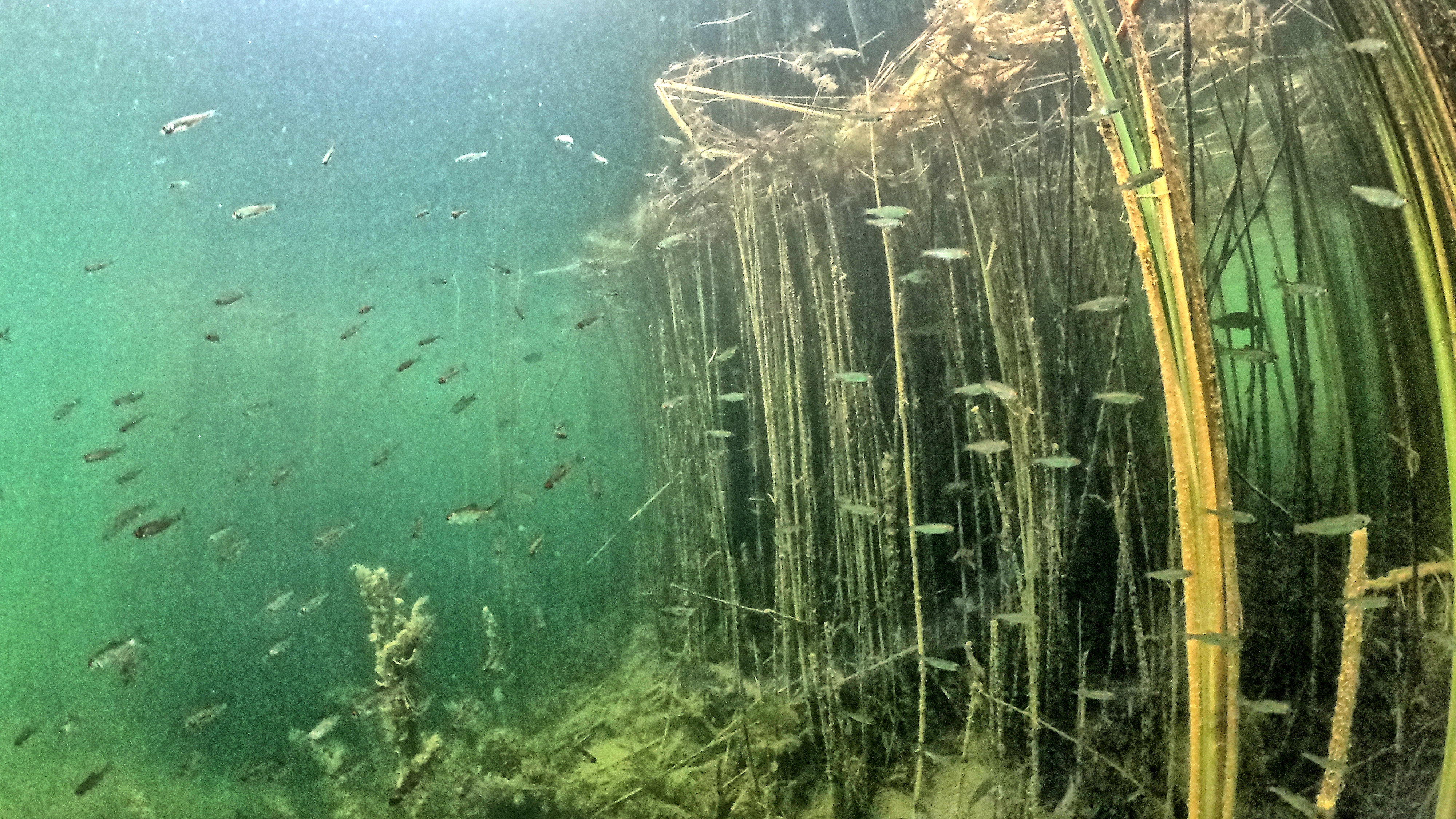
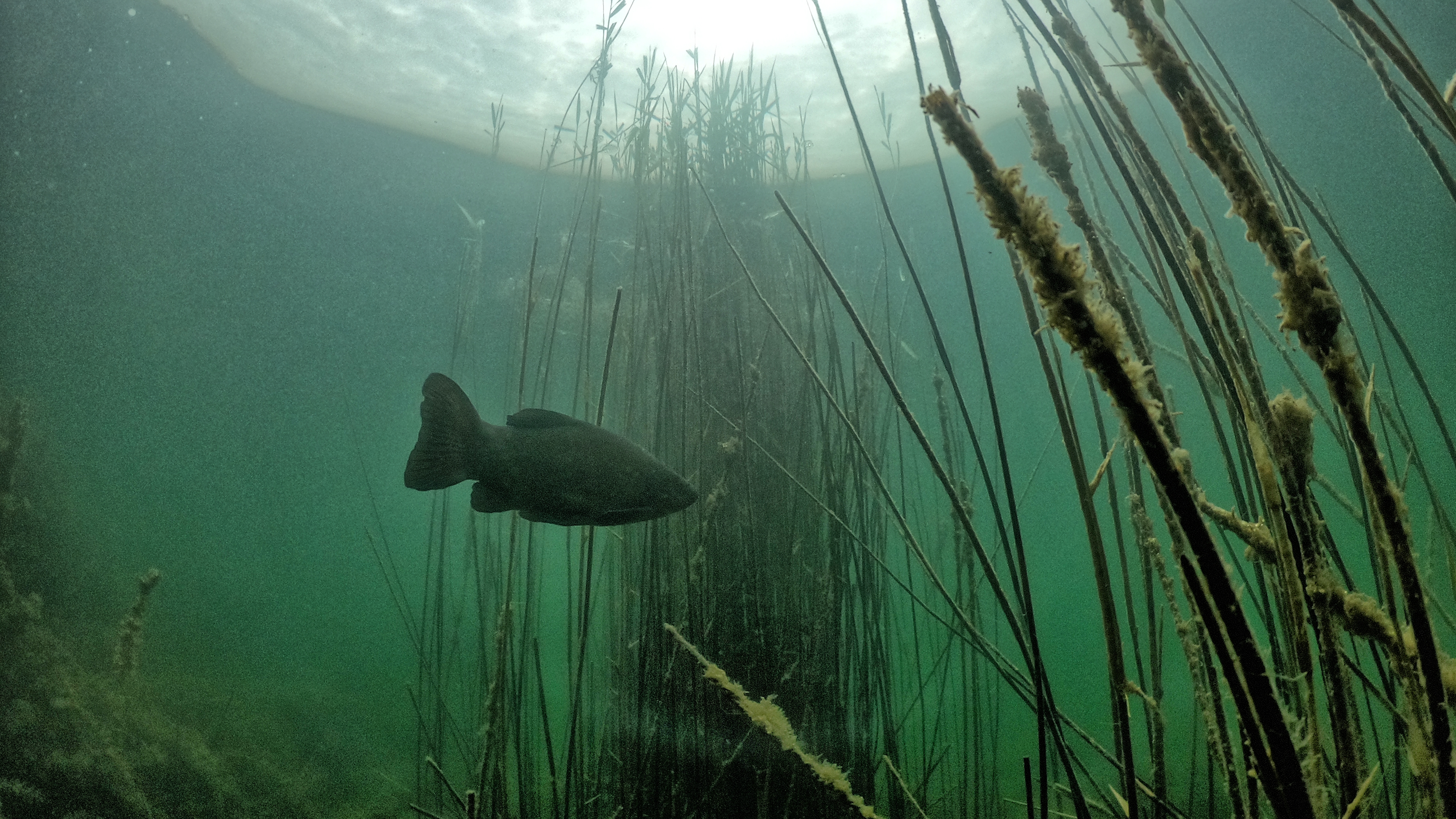
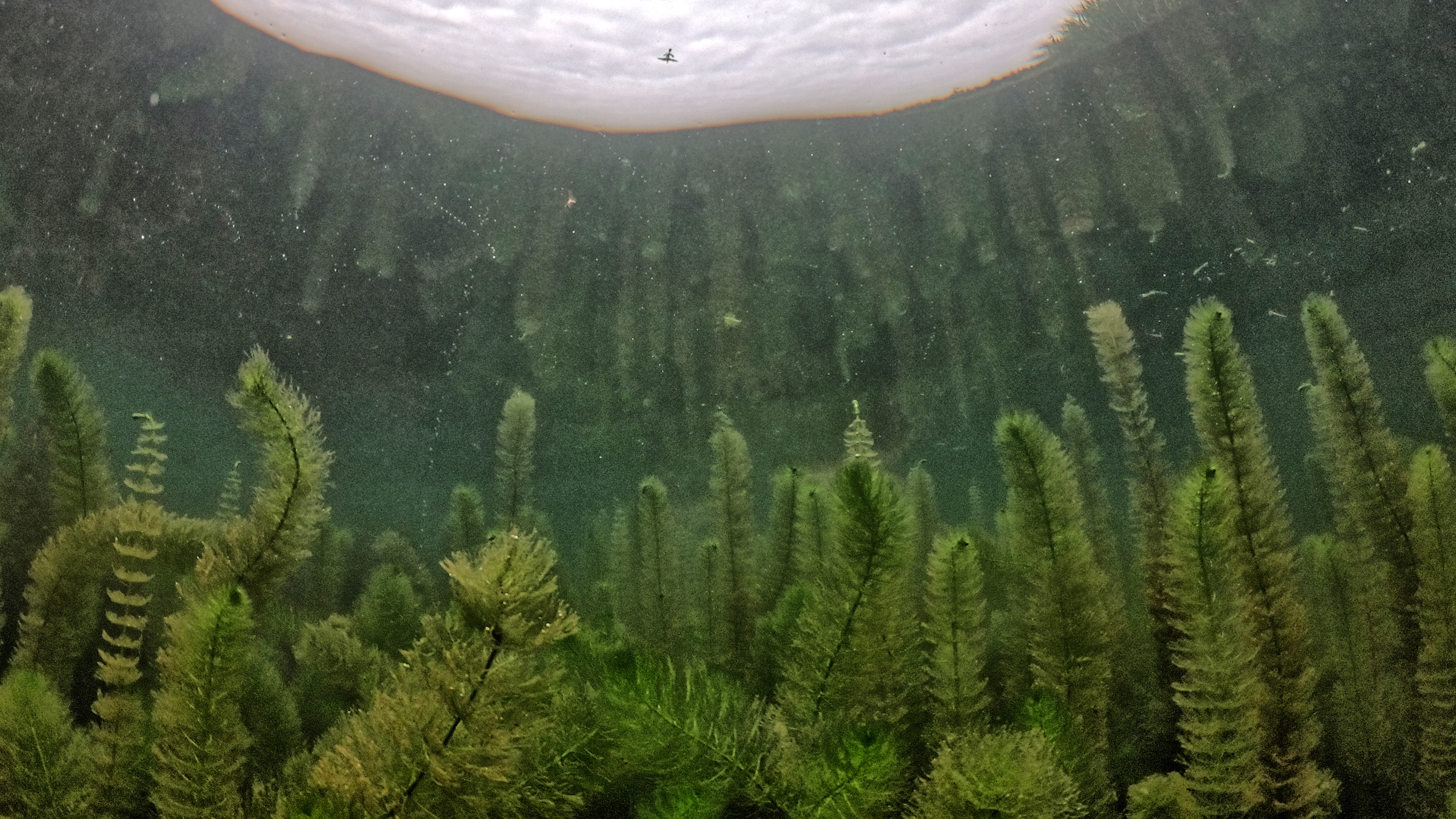
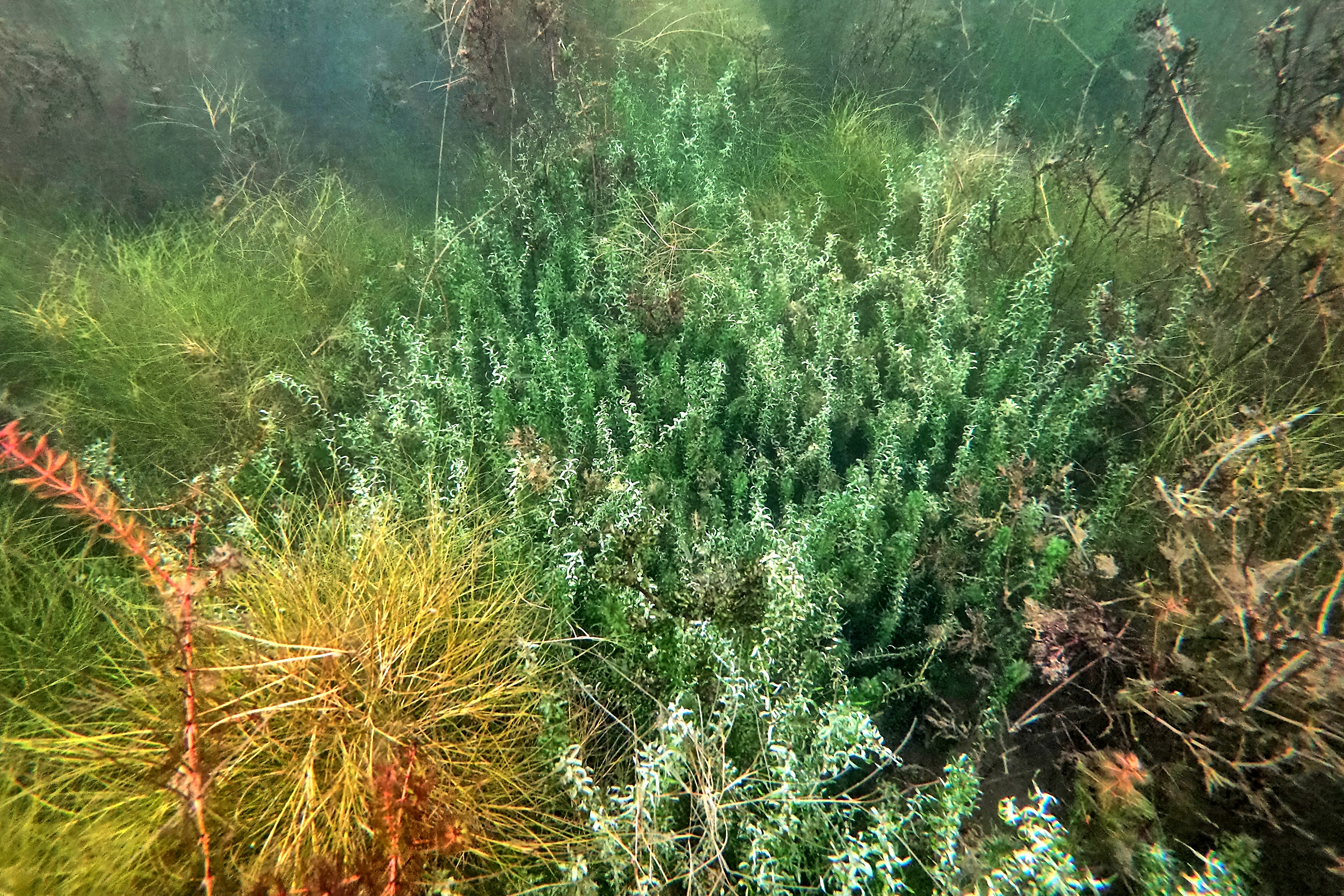
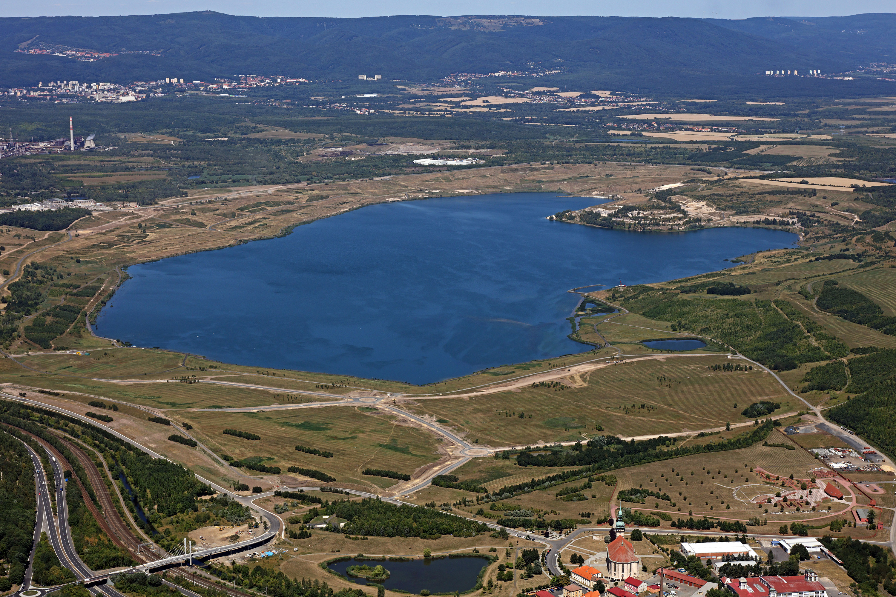
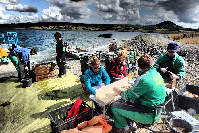
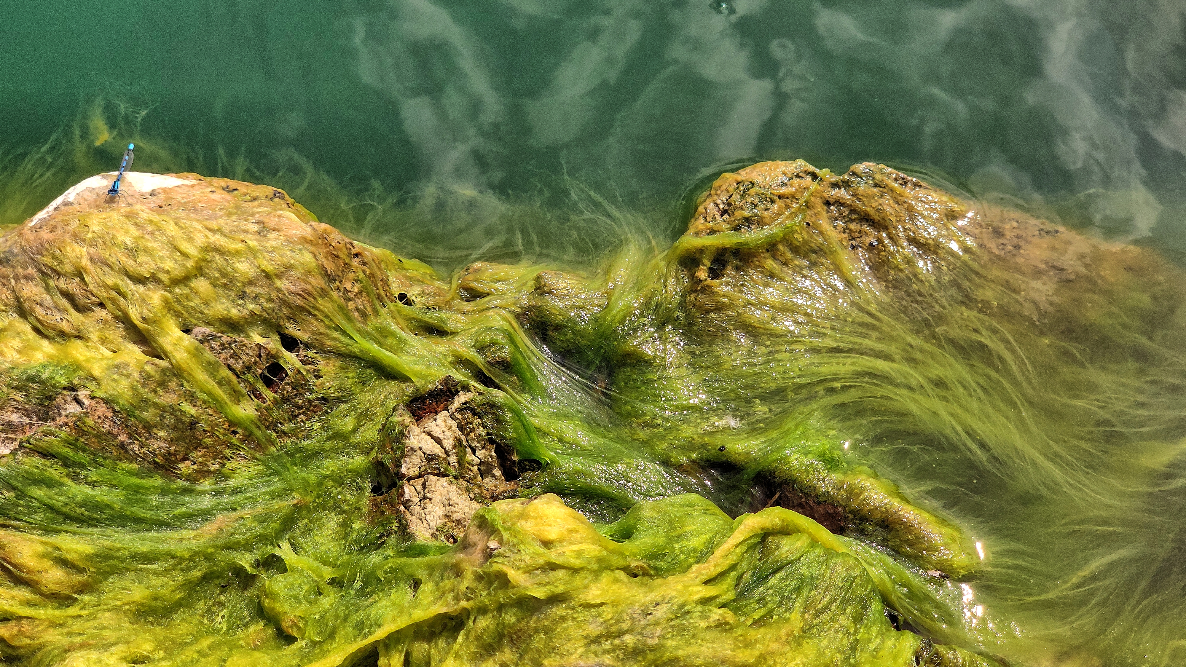
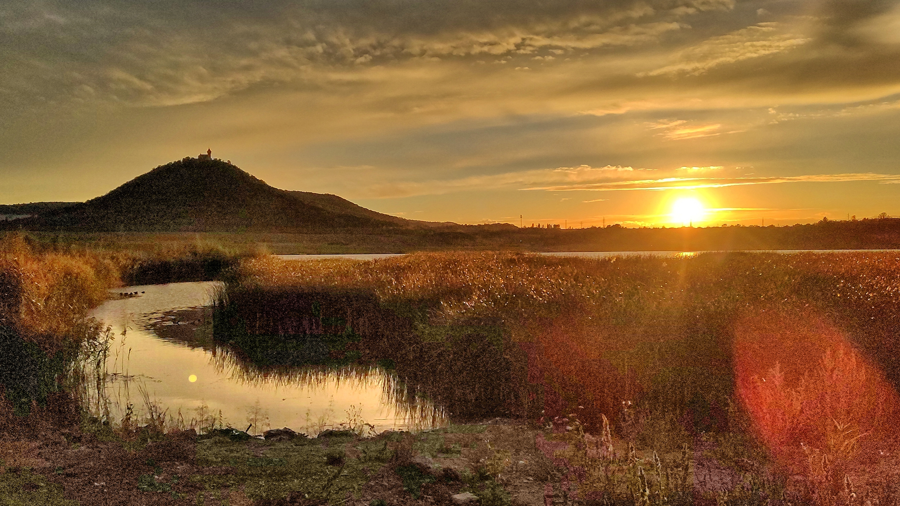
Large-scale opencast mining of brown coal represents a significant and devastating intervention in the natural environment. As a close to nature and economically acceptable method of reclamation of residual mine pits, the hydric method of reclamation is used, when lakes are created from quarries. The creation of a new lake in a former mining area essentially represents a large-scale ecological experiment, during which a number of specific factors are involved with impacts on individual organisms, multiple trophic levels and interactions, even entire food chains, and ultimately the lake water quality.
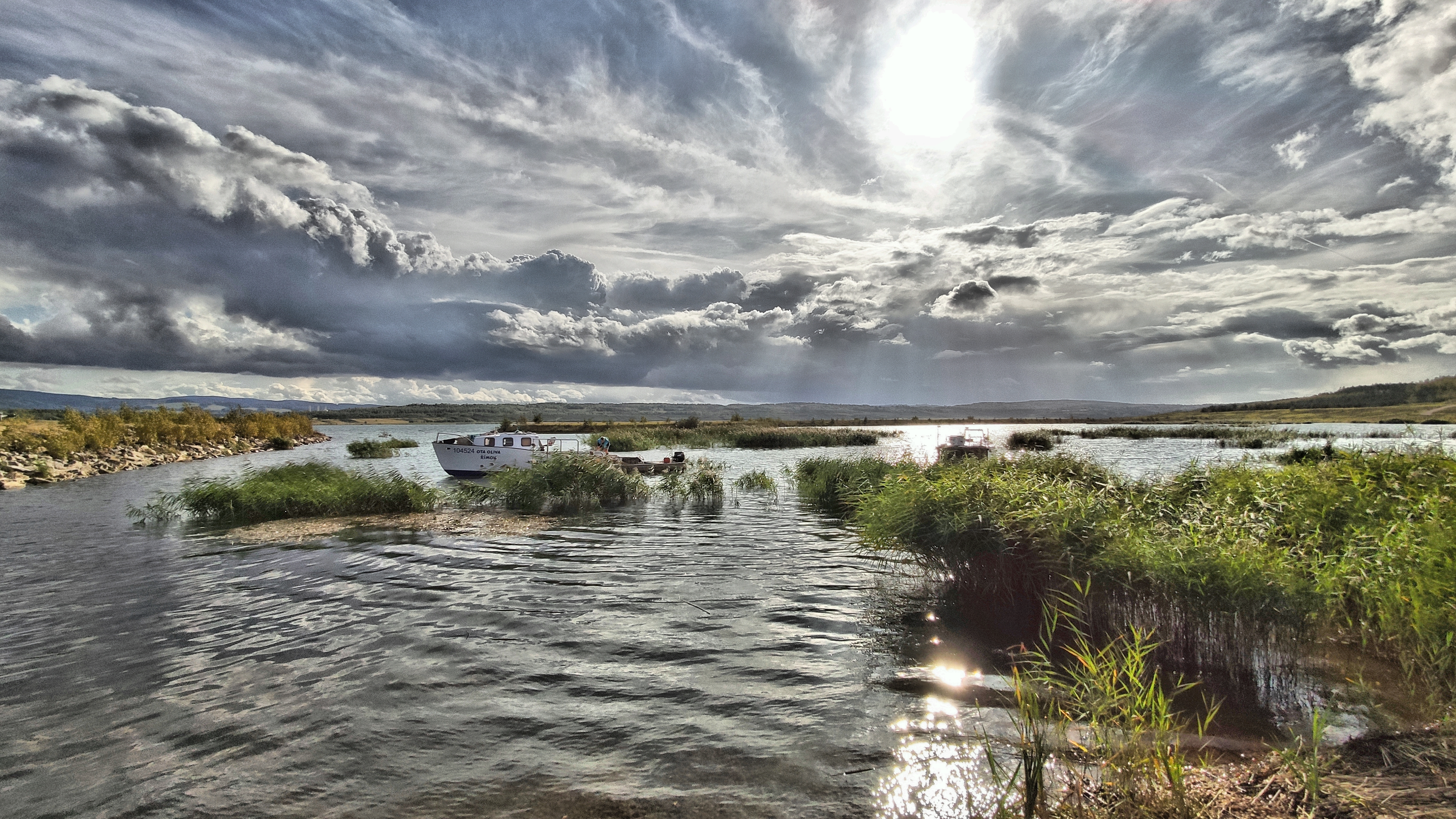
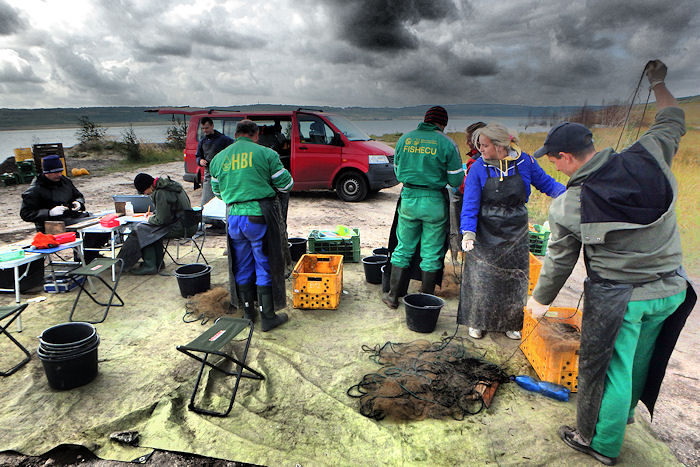
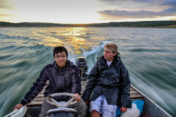
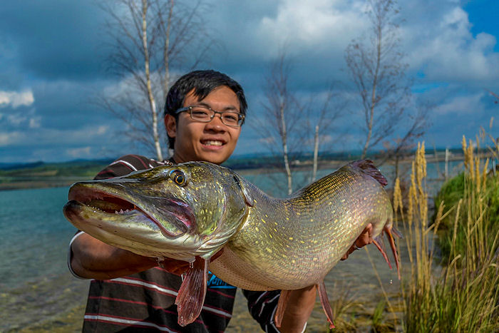
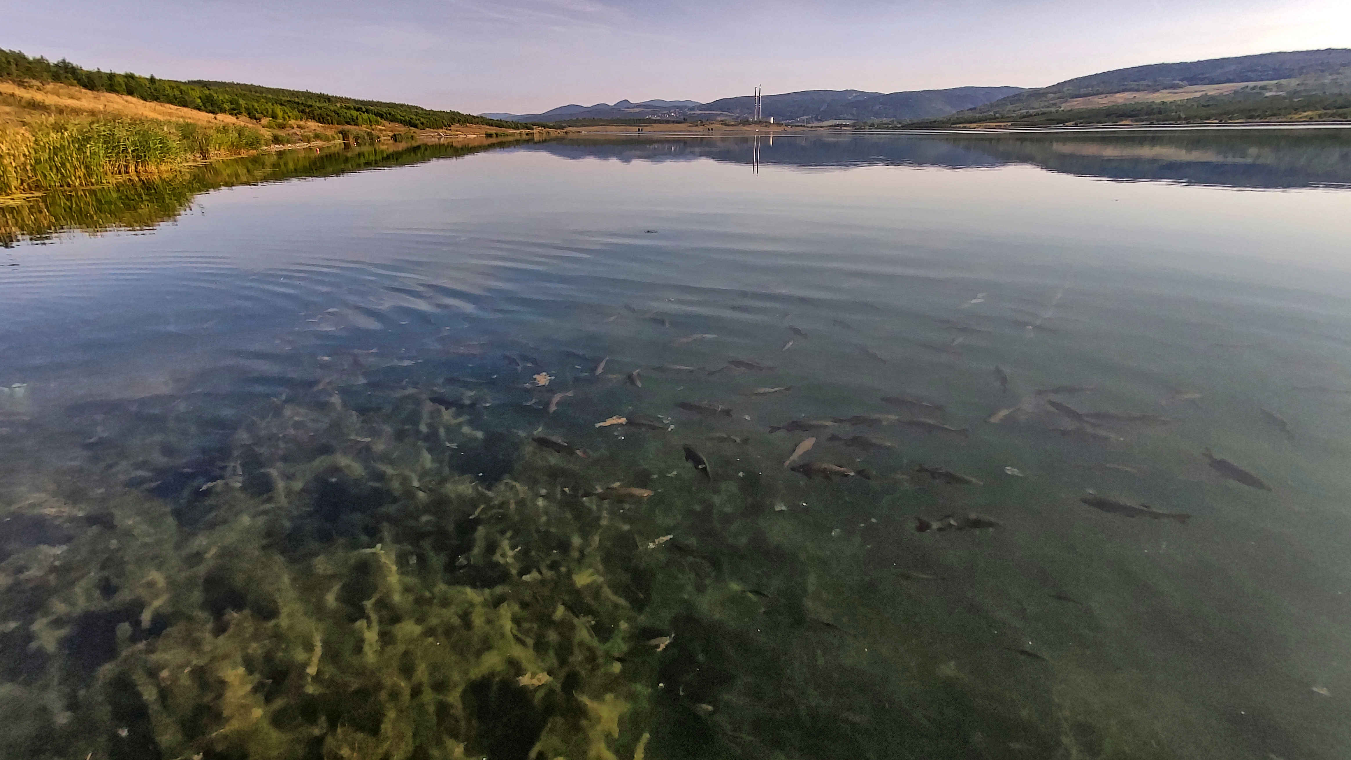
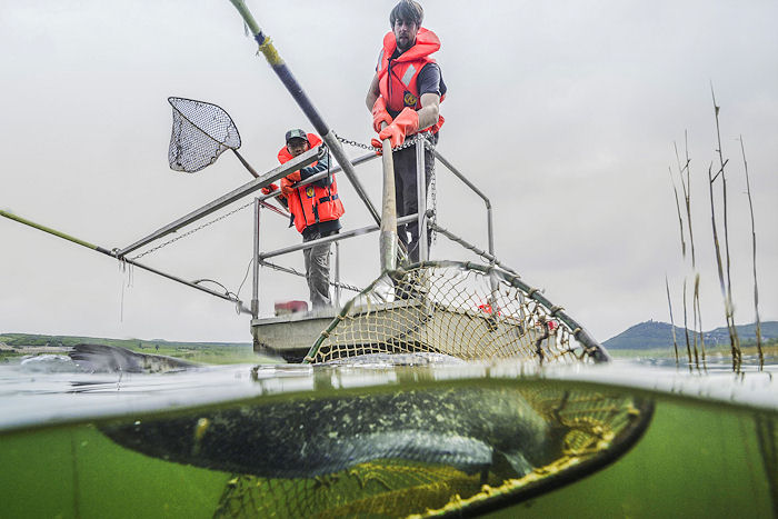
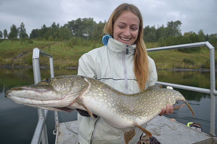
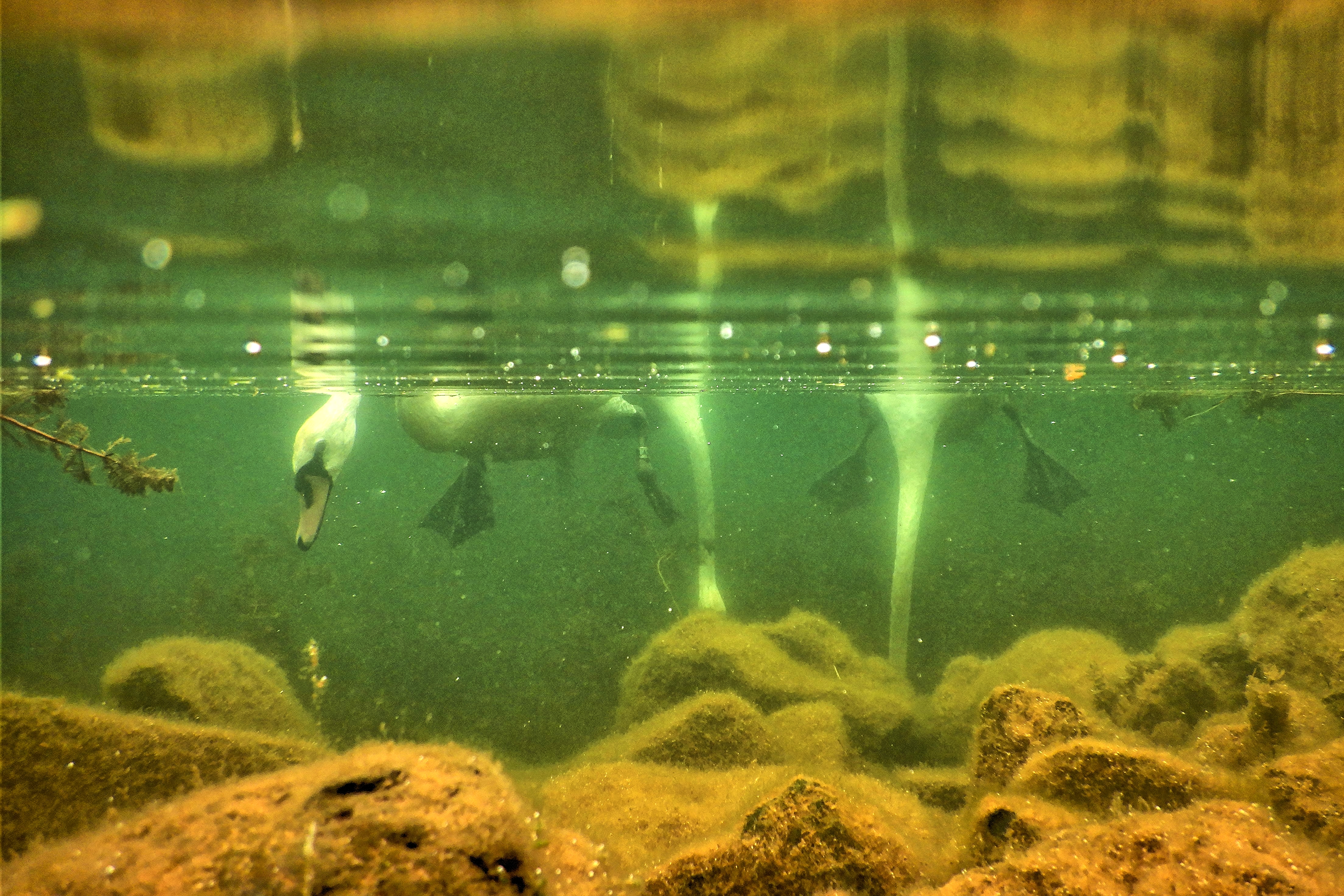
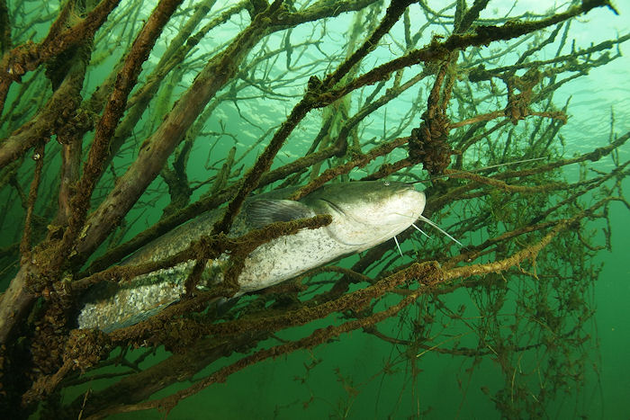
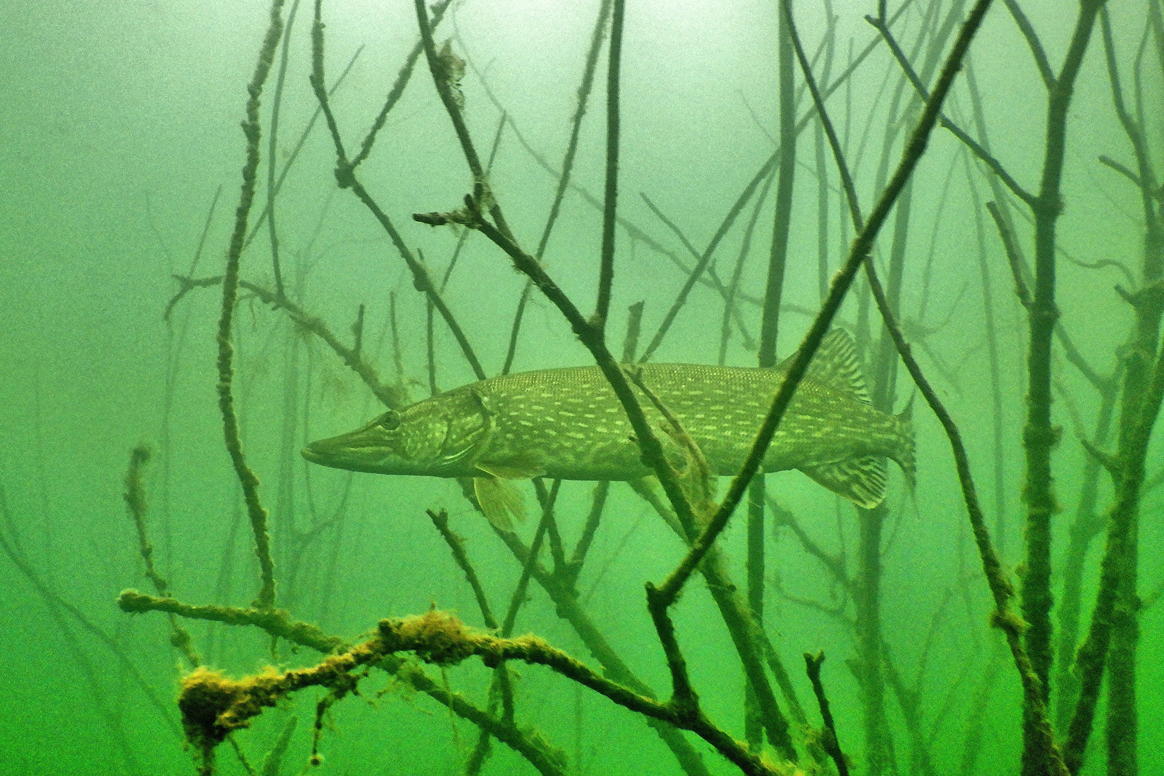
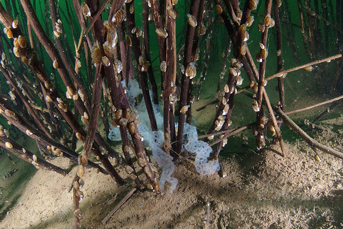
Post-mining lakes (Medard – 500 ha, Milada – 245 ha, Most – 310 ha) thus represent unique LTER areas for studying ecological processes in large natural lentic ecosystems. The lakes are studied since 2005 and ongoing research is focused mainly on (i) the structuring effect of submerged macrophytes on trophic relationships and distribution of fish in deep lakes, (ii) the effects of intra- and interspecific interactions on the succession of fish communities, and (iii) the effects of anthropogenic use and long-term changes on water quality, composition, periphyton composition and phytoplankton structure and biomass.
 Supported by Advance eLTER project number 739558
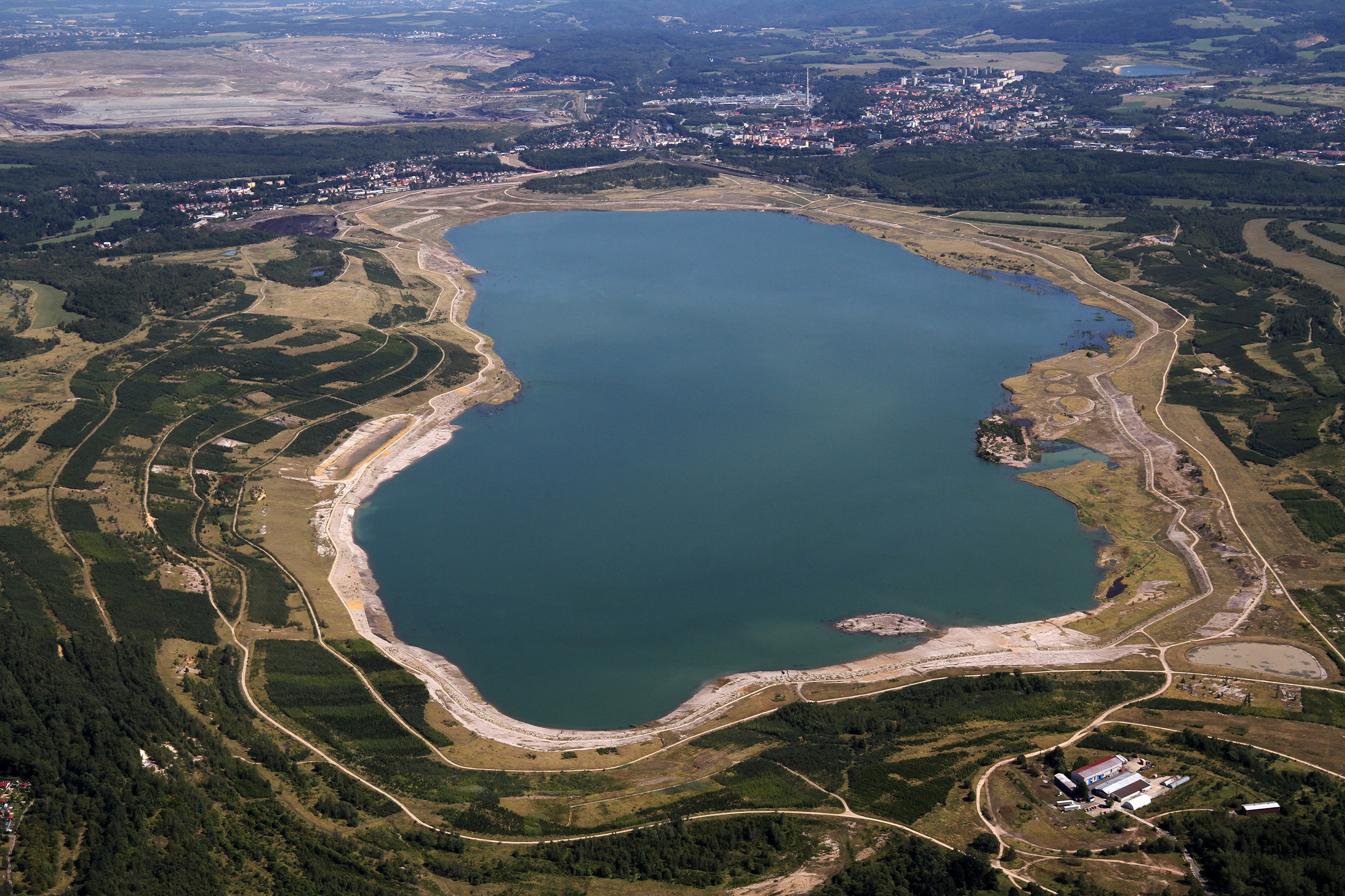